From Olivine to Feldspar: Tracing Martian Crustal Evolution with CRISM Mapping Data
Mapping the compositional evolution of Mars' ancient crust with CRISM hyperspectral data.
Lunar & Planetary Laboratory · University of Arizona
Planetary scientist reading the oldest rocks on Mars — its ancient crust, its water, and its potential for life — with orbital spectroscopy and machine learning.
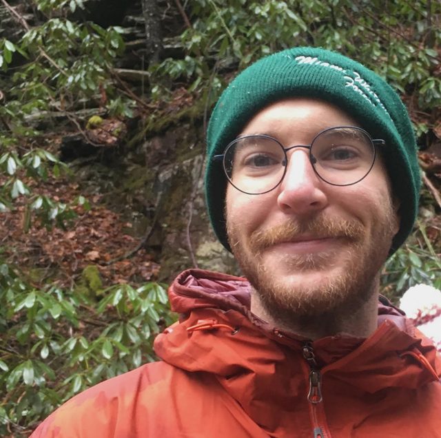
About
I am a planetary scientist at the University of Arizona's Lunar & Planetary Laboratory, specializing in Mars geology, astrobiology, and the application of artificial intelligence to planetary exploration. My research focuses on understanding the ancient history of Mars through orbital remote sensing, with particular emphasis on crustal composition, hydrothermal systems, and the search for biosignatures.
I use hyperspectral imaging data from NASA's Mars Reconnaissance Orbiter to investigate the mineralogy and geochemistry of Mars' ancient crust, and I combine that work with terrestrial analog field studies and open-source tool development.
Research
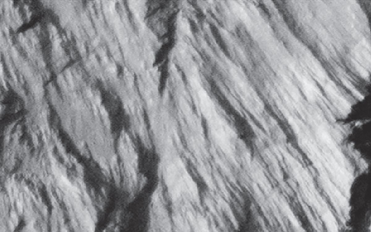
The composition and evolution of Mars' oldest terrains, including widespread anorthosites in the planet's lower crust, and what they reveal about early planetary differentiation.
Featured paper · Communications Earth & Environment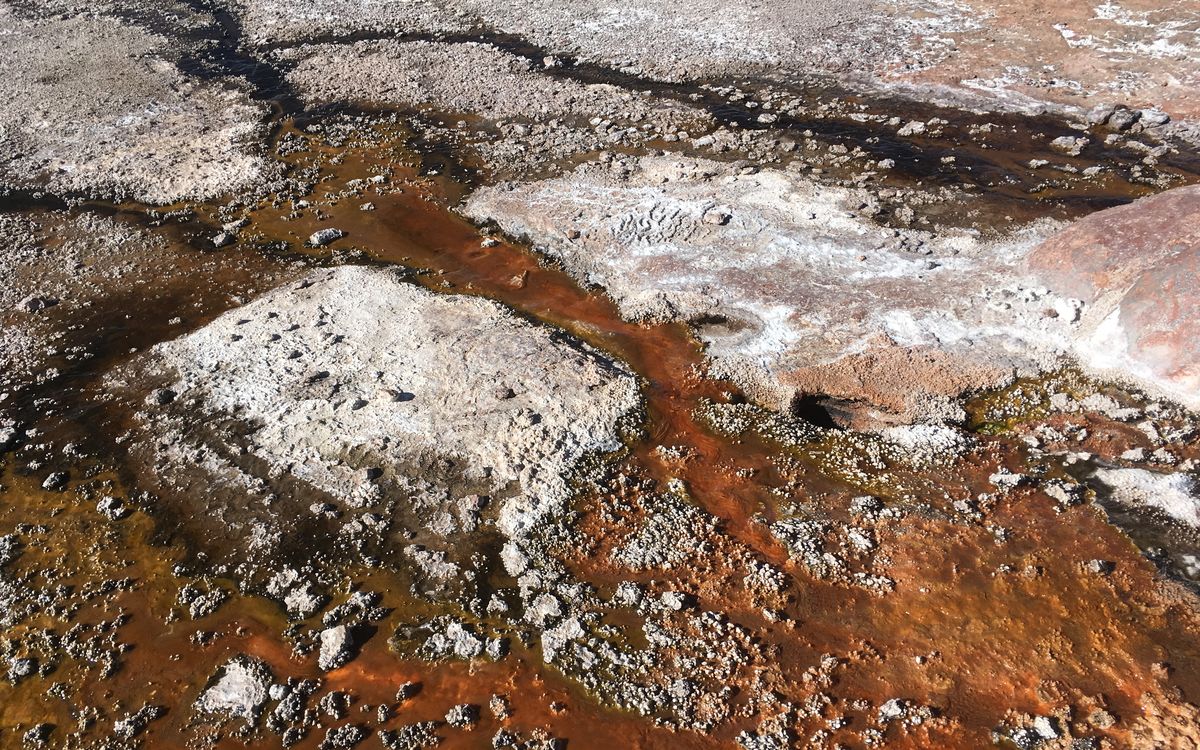
AI and machine-learning methods that improve the detection of potential biosignatures and identify high-priority targets for astrobiology investigations.
Featured paper · Nature Astronomy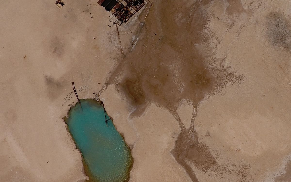
Ancient hydrothermal environments in Martian impact basins, and the mineral assemblages that record past water–rock interaction, habitability, and biosignature preservation.
Basin-related alteration on early Mars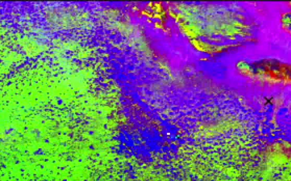
Computational tools and pipelines for CRISM hyperspectral data, including automated detection algorithms and spectral analysis frameworks for large-scale compositional mapping.
Featured paper · The Planetary Science JournalWhat did the first crust of a rocky planet look like — and was it ever habitable?
Current work
Mapping the compositional evolution of Mars' ancient crust with CRISM hyperspectral data.
An open-source Python application for multi- and hyperspectral image analysis, and the successor to the Spectral Cube Analysis Tool. NASA HPOSS
High-resolution topographic data products from Mars Reconnaissance Orbiter imagery.
Ancient aqueous alteration in Martian impact basins and its astrobiological implications. Johns Hopkins University
Spectral and geologic analyses of sedimentary and altered outcrops in equatorial Mars. SUNY
Training the next generation of planetary scientists in data analysis techniques. Arizona State University
In the field
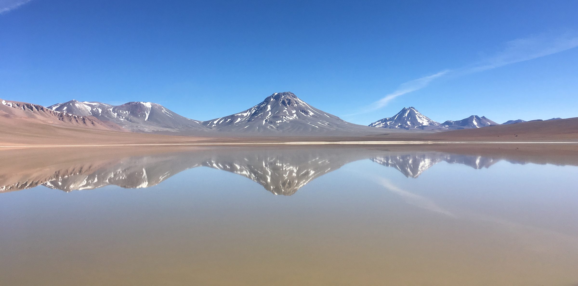
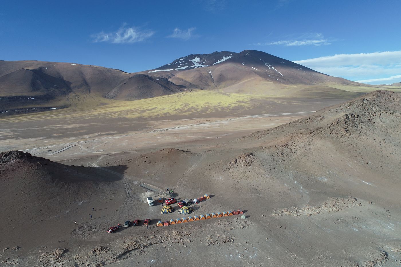
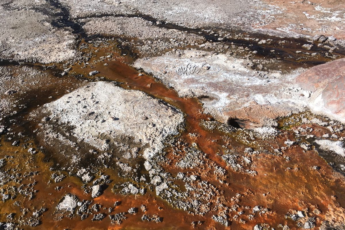
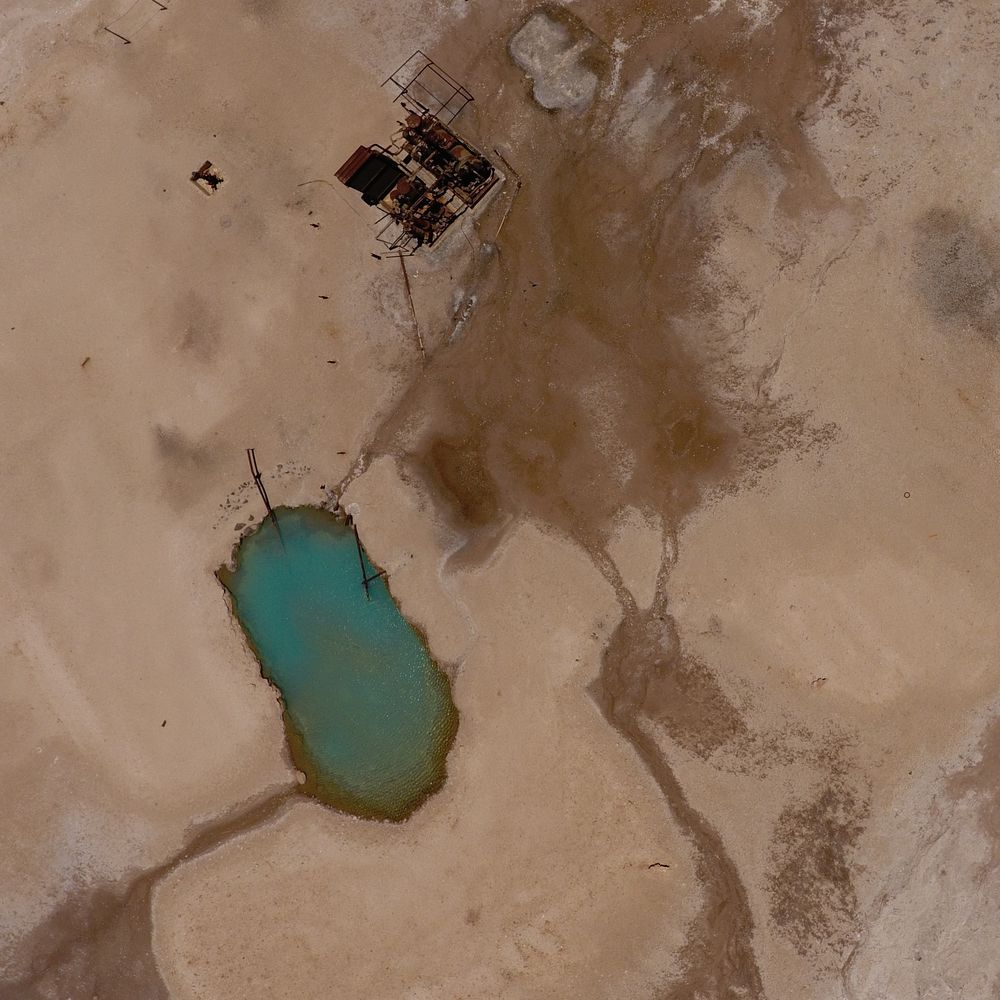
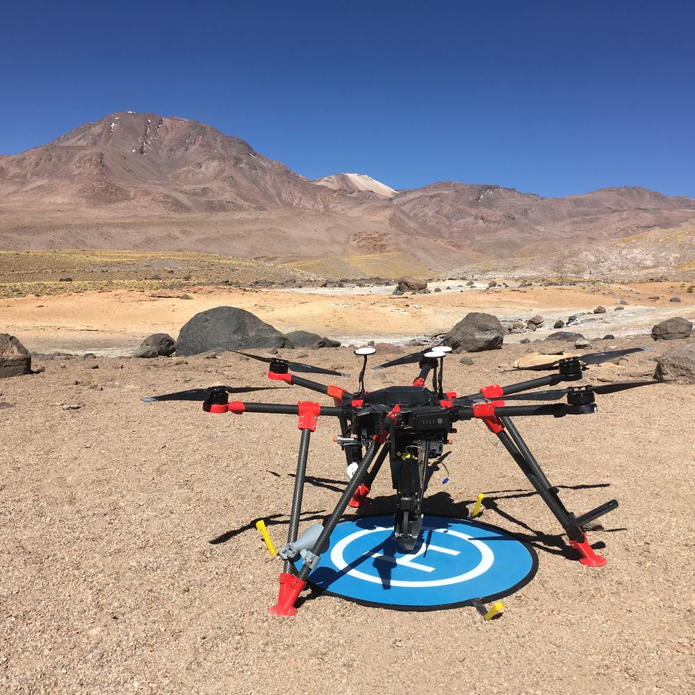
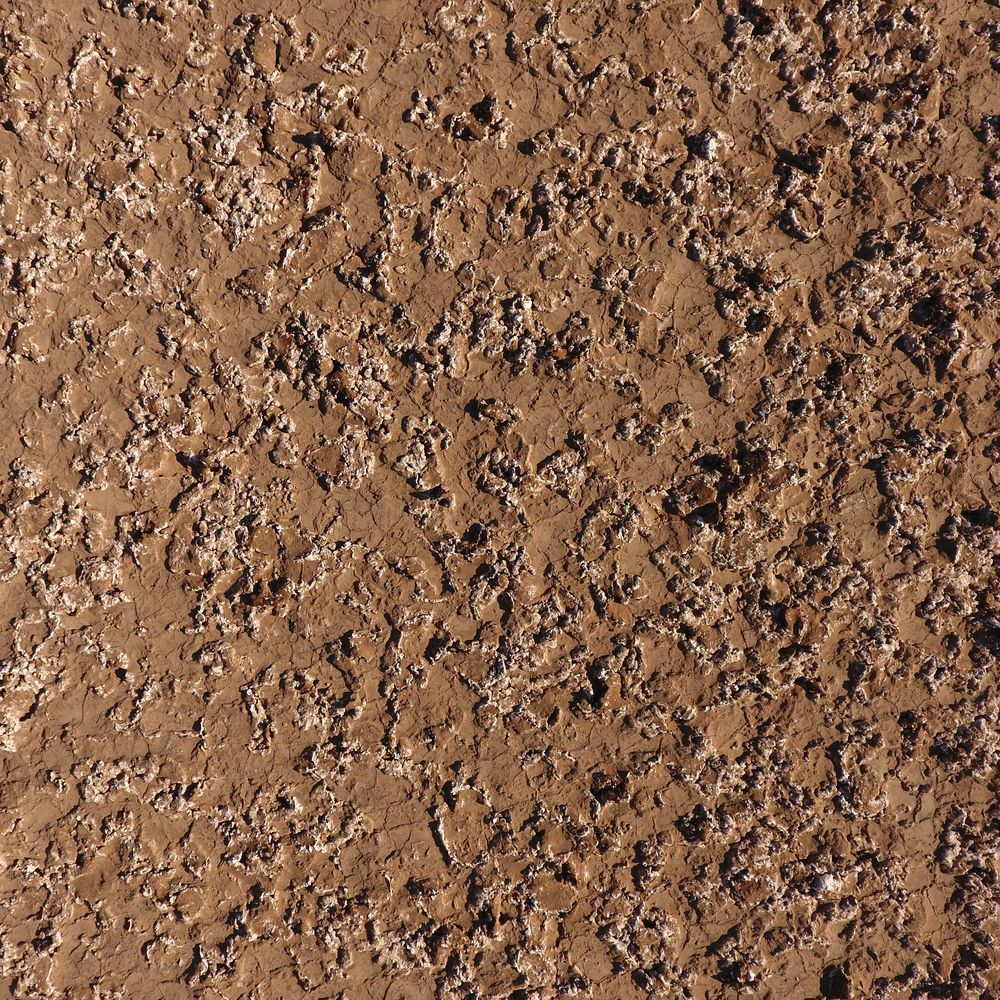
Much of my work pairs orbital data with Mars-analog field campaigns: drone and ground surveys of salars and hydrothermal fields in Chile's Atacama Desert and Altiplano, where extreme environments help us learn how to search for habitats and biosignatures on Mars.
Open-source tools
A Python toolbox for calculating spectral parameters from hyperspectral reflectance data, developed for CRISM and Mars analog datasets.
 Varda
VardaVisualization and Analysis of Raster Data: an open-source Python application for multi- and hyperspectral images and an alternative to proprietary tools like ENVI. It reads 160+ image formats, links two images by pixel or map location, and offers ROI tools and interactive spectral plots. Varda is the successor to the Spectral Cube Analysis Tool and is in active development.
Watch
A SETI Institute video on how artificial intelligence can guide the search for life on Mars and icy worlds — the theme behind my work on biosignature prediction in Mars-analog terrain.